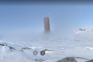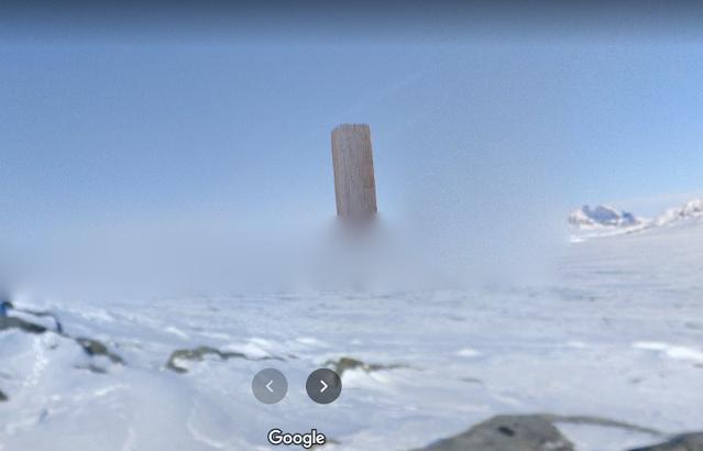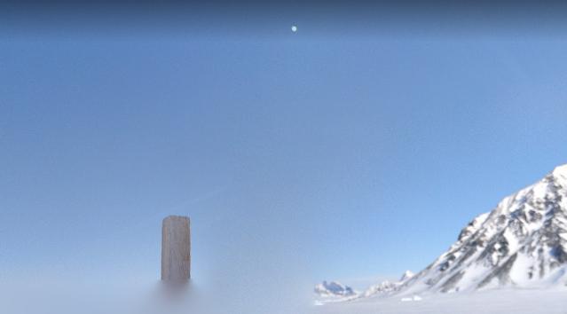


Map
位置精度
正確
Description
Googleマップのユーザーは、南極大陸の南極司令部の管轄下にある南極大陸の科学ステーションであるサンマルティン南極基地またはサンマルティン基地の近くの未知の場所にあると思われる巨大なモノリスを示す一連の画像を投稿しました。 。大きな割合の構造は、南極半島のマルガリータ湾にあるファリエール海岸のモッテタ峠にある、デベンハム島のグループのバリー島またはサンマルティン島にあります。サンマルティン基地は、南極圏の南にある最初の人間の居住地です。
Notes
We need a more credible source for this monolith. Currently we have a google 360 view on google maps, but the base of the monolith with the ground is obscured by a blurry area.
The "monolith" appears to actually be a glitch in the 360 image stitching, as the wooden pole behind the camera is missing part of its top and the wood grain and color appears to match that of the pole.
The "monolith" appears to actually be a glitch in the 360 image stitching, as the wooden pole behind the camera is missing part of its top and the wood grain and color appears to match that of the pole.
Dates & Classification
発見された日付
消えた日付
分類
未確認のモノリスは通常、直接またはソーシャルメディアで報告されます
複数のモノリス
✖
Physical Qualities
材料
木材
建設
固体
辺の数
ファイブサイド(ペンタゴン)
テクスチャ
木材
トップジオメトリ
平らな
高さ
10.00メートル
マーキング
テキスト
Articles & Media

